Hunting: 2008
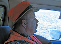
This year, as in the past, my friend Chuck Farnsworth and I tried our luck just North of the town of Gunnison, Colorado. We always have the hope that something will jump out in front of us but we always visit with and stay with some of our friends. I'm going to have to start using "Brasso" on my ammo as I've had it for so many seasons. This year, I fired a few shots just to see how it felt to fire my rifle.....felt good!
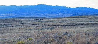
These first few shots are around Poncha Springs, CO which is located about 18 miles from Buena Vista. From this area, one can see what is called the Collegiates. The Collegiate Peaks area includes much of the Sawatch Range and has the highest average elevation of any wilderness area in the United States. Several of the area's 14,000-foot (4,300Â m) peaks are named for famous universities and colleges, including Mt. Harvard, Mt. Oxford, Mt. Yale, Mt. Princeton, and Mt. Columbia. It's one of the lovliest areas through which you can drive in Colorado.
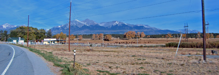
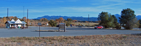
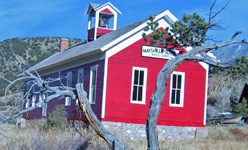
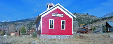
I passed through Poncha Springs and had to detour through the small "town" of Maysville due to a truck that had caught fire due to hot brakes coming off Monarch Pass. I think that there was a train that passed through Maysville and might have been the original "raison d'etre" of the town. There was a line that took the route of Marshal Pass that lies between Salida and Gunnison but I'm not sure if that particular line came through Maysville. The old wooden water tower can still be seen when you drive through Sergents which is located on highway 50 about 30 miles outside of Gunnison.
The Collegiate Peaks area includes much of the Sawatch Range and has the highest average elevation of any wilderness area in the United States. Several of the area's 14K foot (4,300Â m) peaks are named for famous universities and colleges, including Mt. Harvard, Mt. Oxford, Mt. Yale, Mt. Princeton, and Mt. Columbia.he Collegiate Peaks area includes much of the Sawatch Range and has the highest average elevation of any wilderness area in the United States. Several of the area's 14K foot (4,300Â m) peaks are named for famous universities and colleges, including Mt. Harvard, Mt. Oxford, Mt. Yale, Mt. Princeton, and Mt. Columbia.
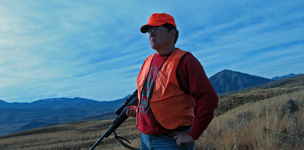
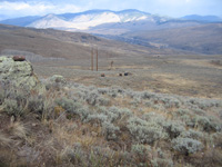
We acted like a bunch of "woosies" this year and did not " walk in." Chuck brought his 4x4 Chevy and we drove to the top. It was still tough as the truck was sprung quite hard. Chuck stated "I've driven ACAVS that rode easier." I agree! The pictures that are presented show mostly that area called Flattop and Red Mountain. From this location, the Ohio Valley can be seen as well as the town of Gunnison and up to Almont.
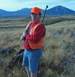
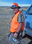
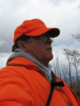
If you think it wasn't hot up there, just check out the shorts!
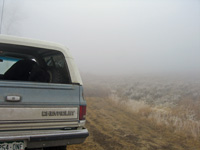
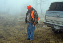
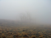
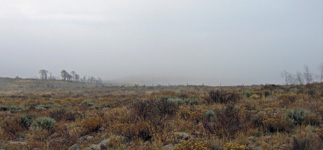
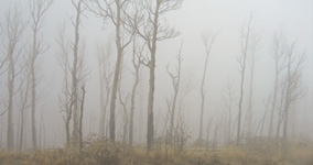
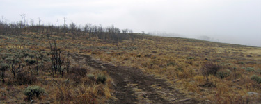
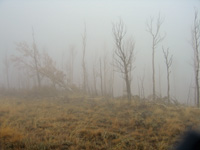
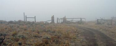
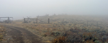
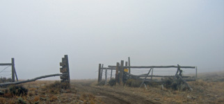
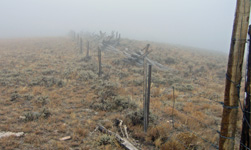
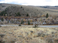
On Wednesday, we returned to the same location as we had seen some sign whereas the other areas we had not. What a difference in the look of the land. When we started, it was extremely foggy. It cleared up after about 3 hours but it was a nice change from the very hot weather that we had been having prior.
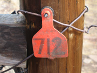
If you've not seen one of these, the 712 tag is used for cattle. The area in which we were hunting is used to graze cattle during the warm months.
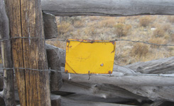
The yellow tag on the gate usually asks that you close the gate.
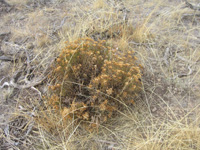
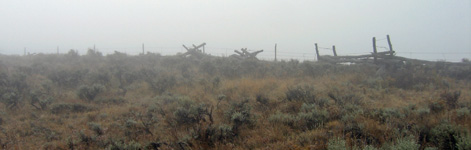
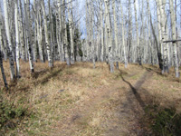
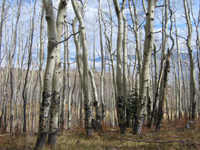
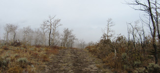
The mountain is mostly sage but has interspersed stands of predominantly aspen trees.
These last couple of pictures show the journey down from the top. ATVs can be seen on the left and the Gunnison river is shown at highway 135 as we came into the parking area by Almont. Having lived in the Gunnison Valley for six years, I can honestly say that even though the winters are cold, the area is my favorite. I hope that you've enjoyed the trip. As with the Bronco's: "Just wait until next year!"
BACK TO HUNTING
